Where the political map is a deep red

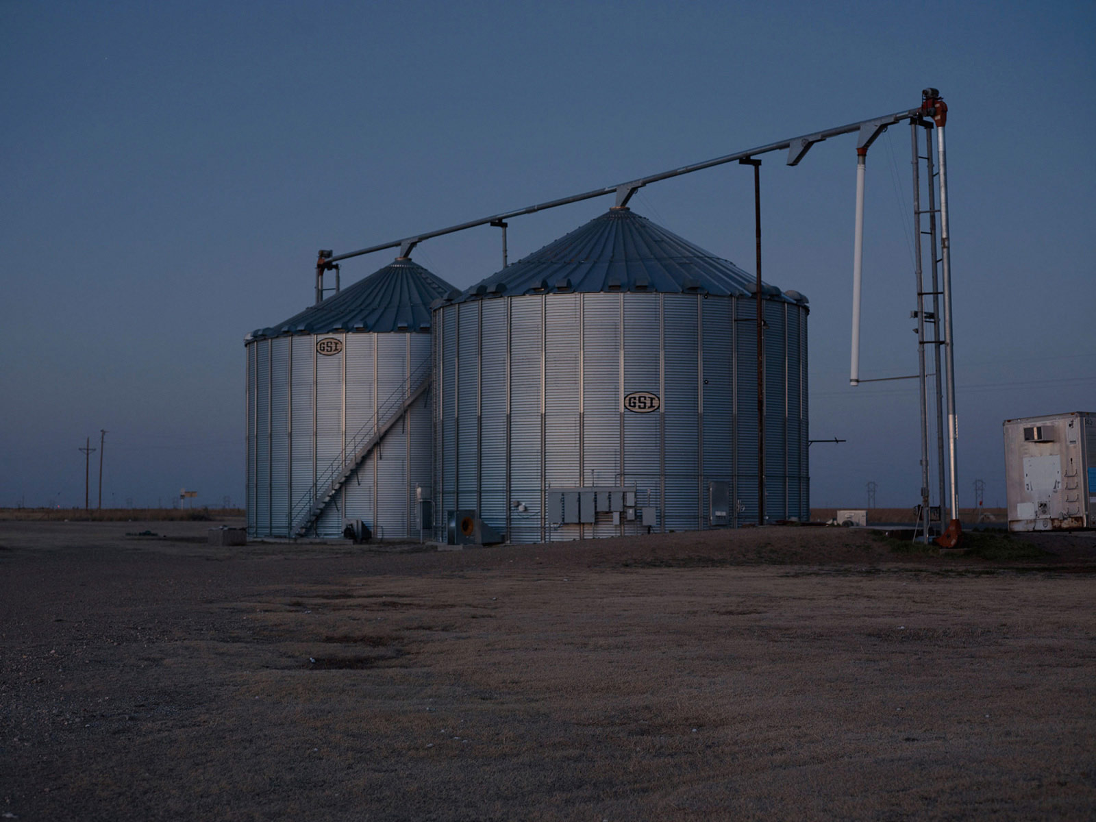


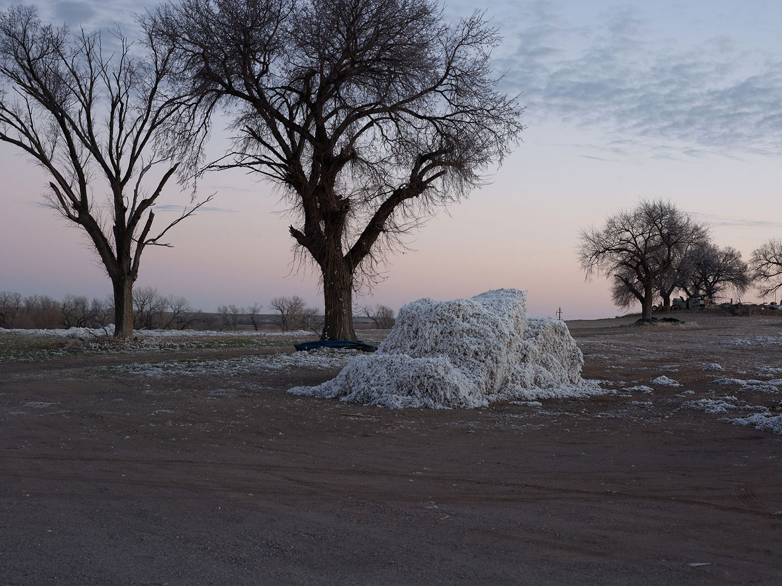


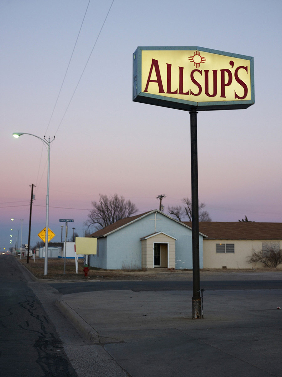


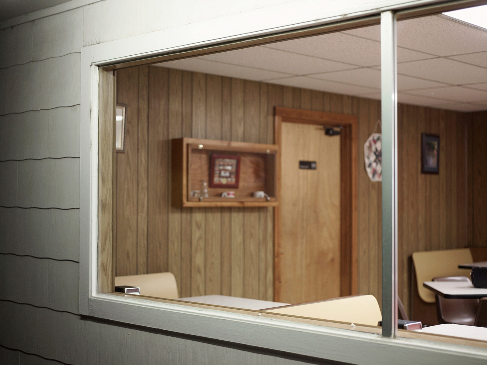


In November 2008 power in American politics swung from the Republicans to the Democrats with the historic election of Barack Obama. A look at the changing political map of the US showed a shift towards the Democrats for some traditionally right leaning States. However a close look revealed that certain counties in some States remained as committed as ever to their Republican roots.
With a vote of ninety per cent in favour of the incumbent Republican government, these counties, north of Amarillo, Texas, were truly the Red States.
I traveled to these most republican of places the week of the presidential inauguration in January 2009 and made this series of portraits at this important time of change.