Two thousand miles of common border separates the USA from Mexico. More than just a boundary, the line represents a division between the developed and developing world.
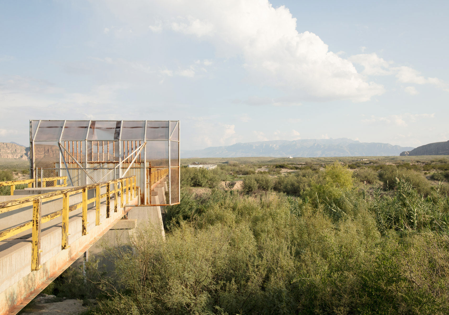


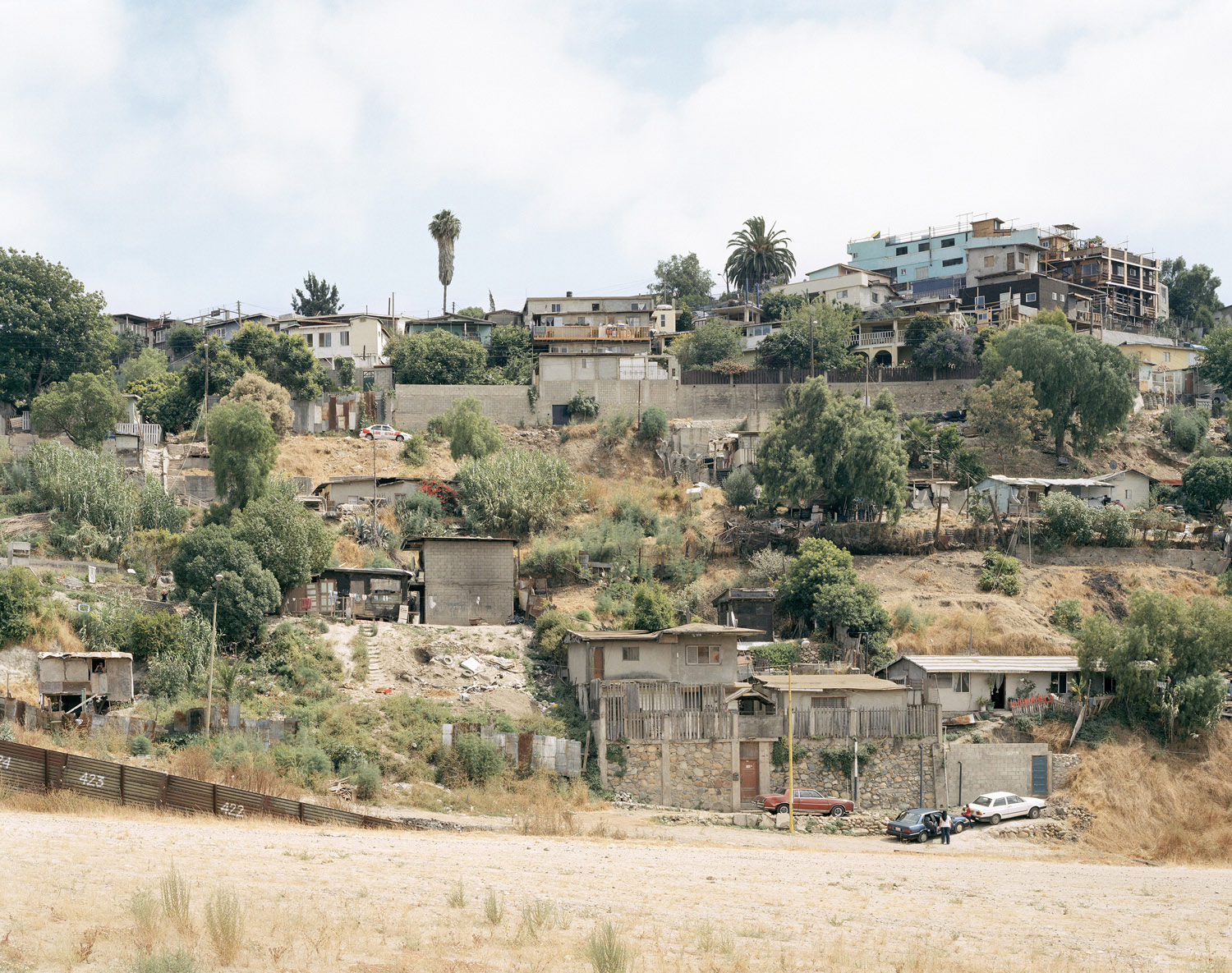
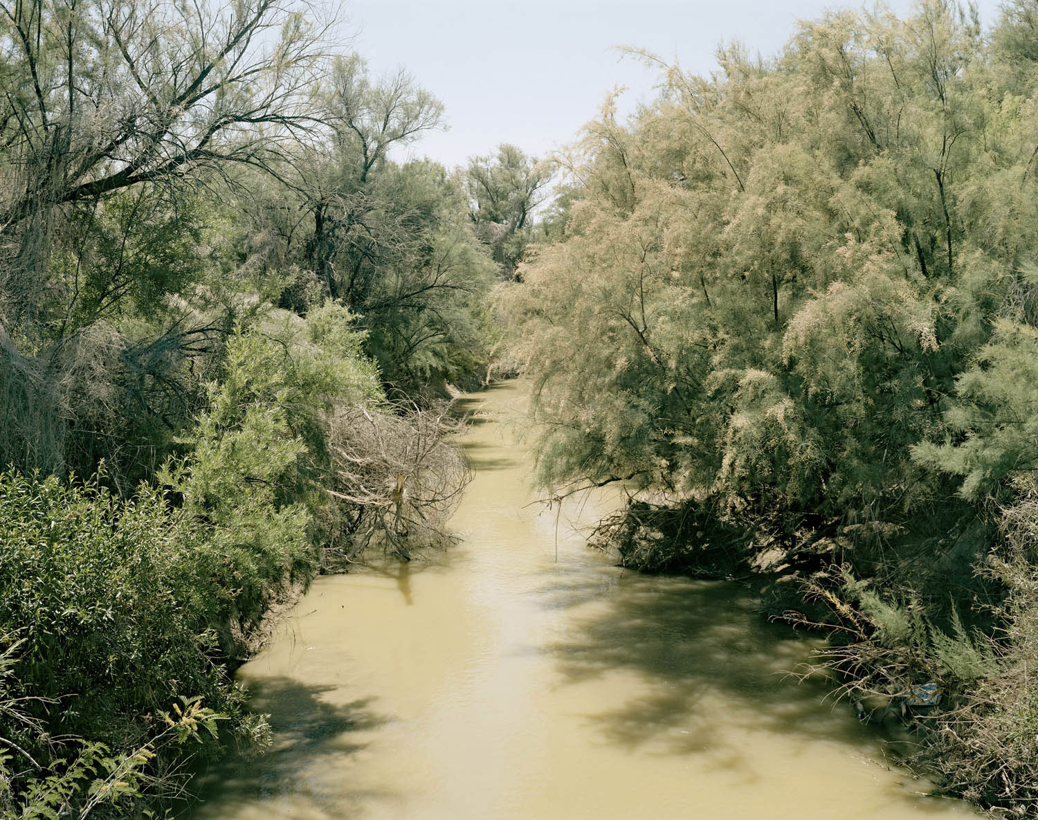


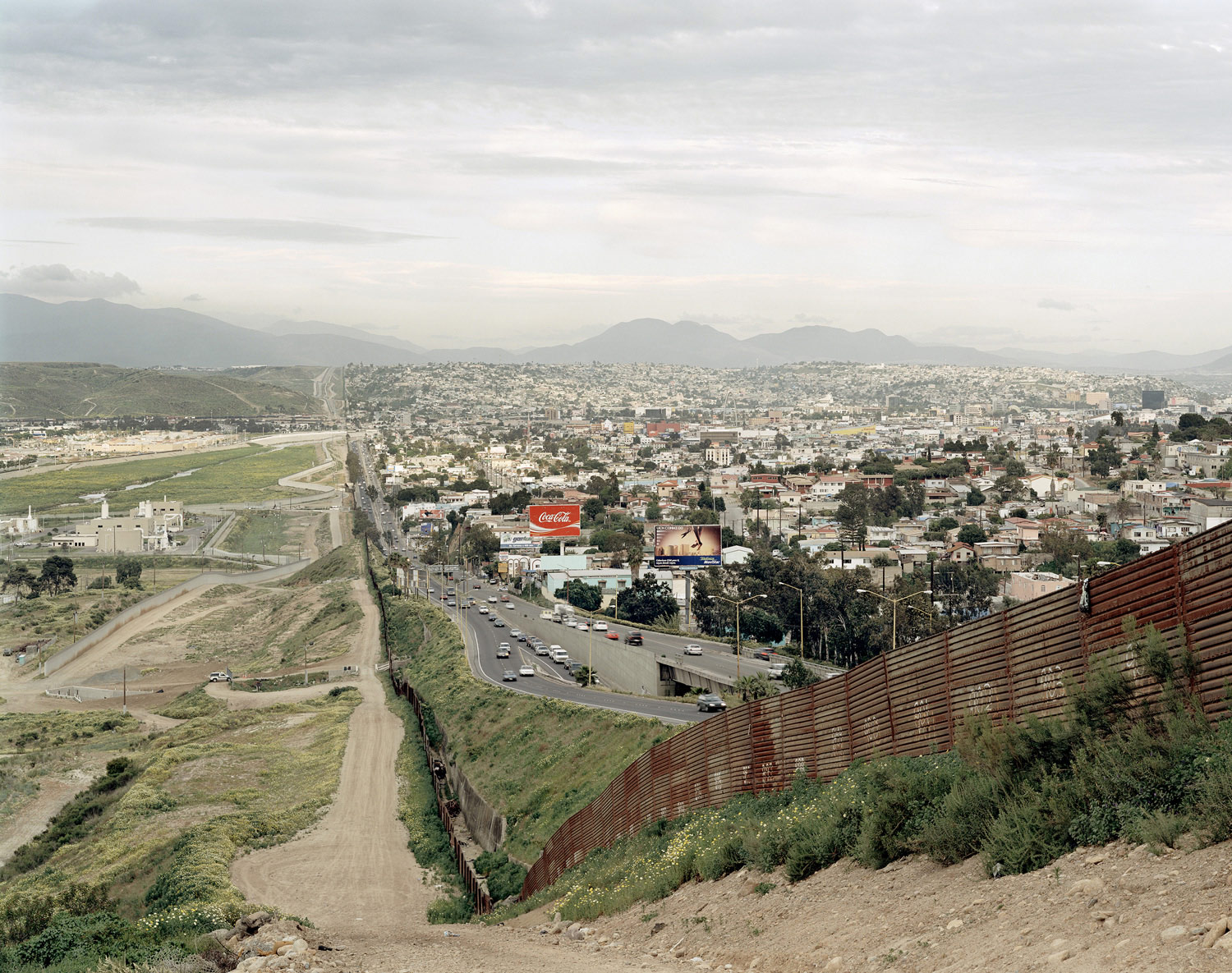
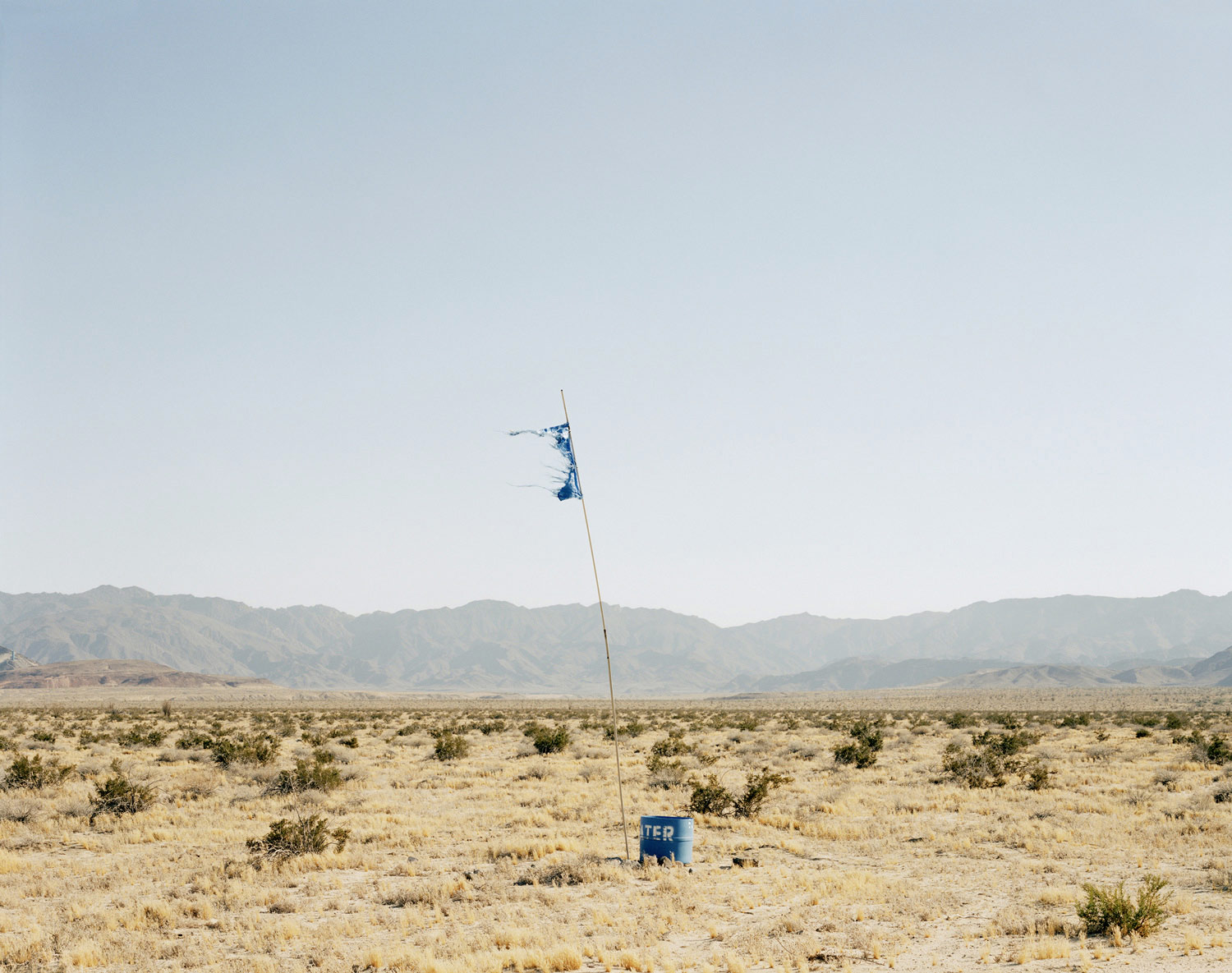

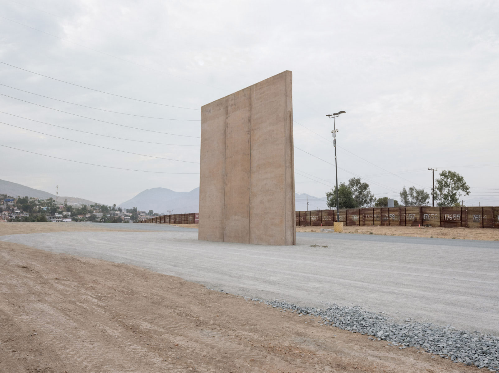
Two thousand miles of common border separates the USA from Mexico, running between the Pacific Ocean and the Gulf of Mexico, traversing four US and six Mexican states. More than just a boundary, the line represents a division between first and third world, slicing the landscape abruptly in towns and cities, and anonymously and silently in the vast empty deserts.
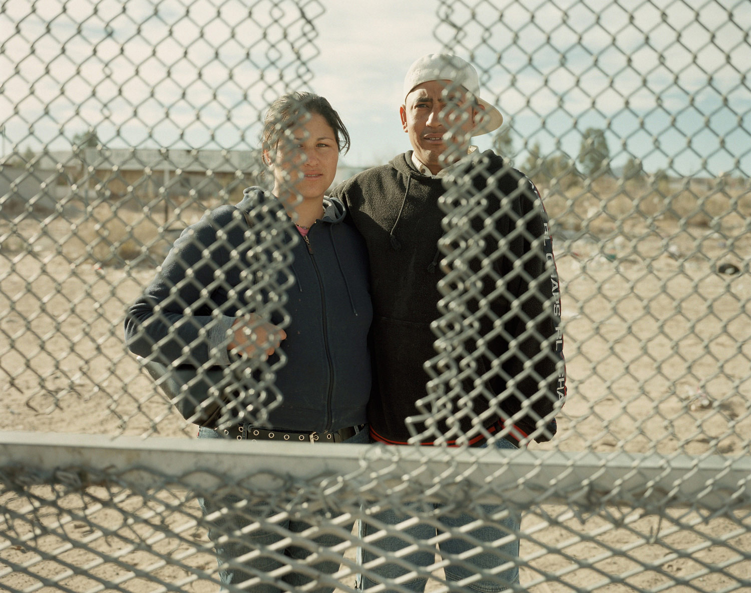
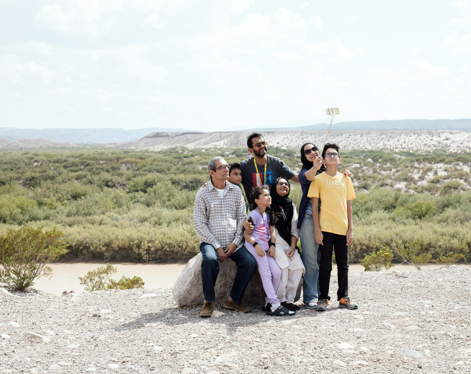
The crossing of this line carries the hopes of some half a million migrants, who make the journey every year heading north looking for the American dream.
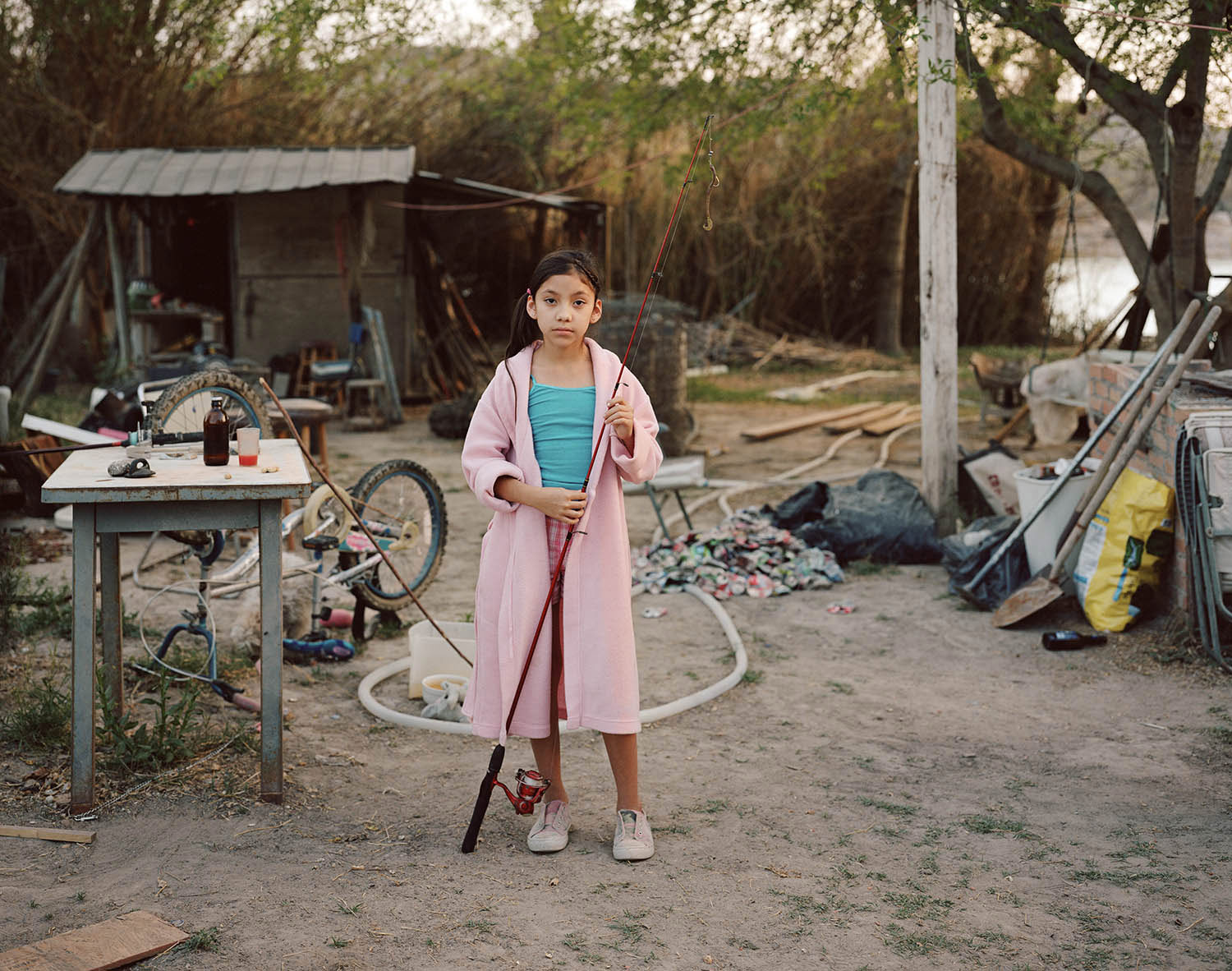
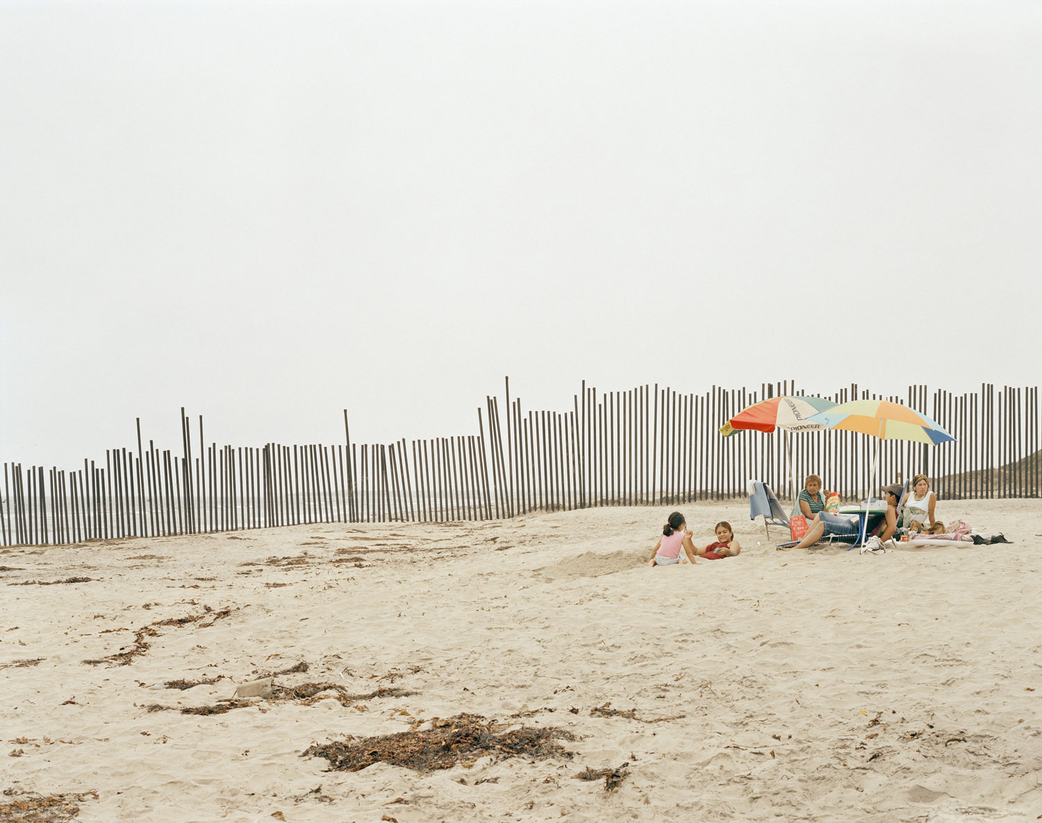
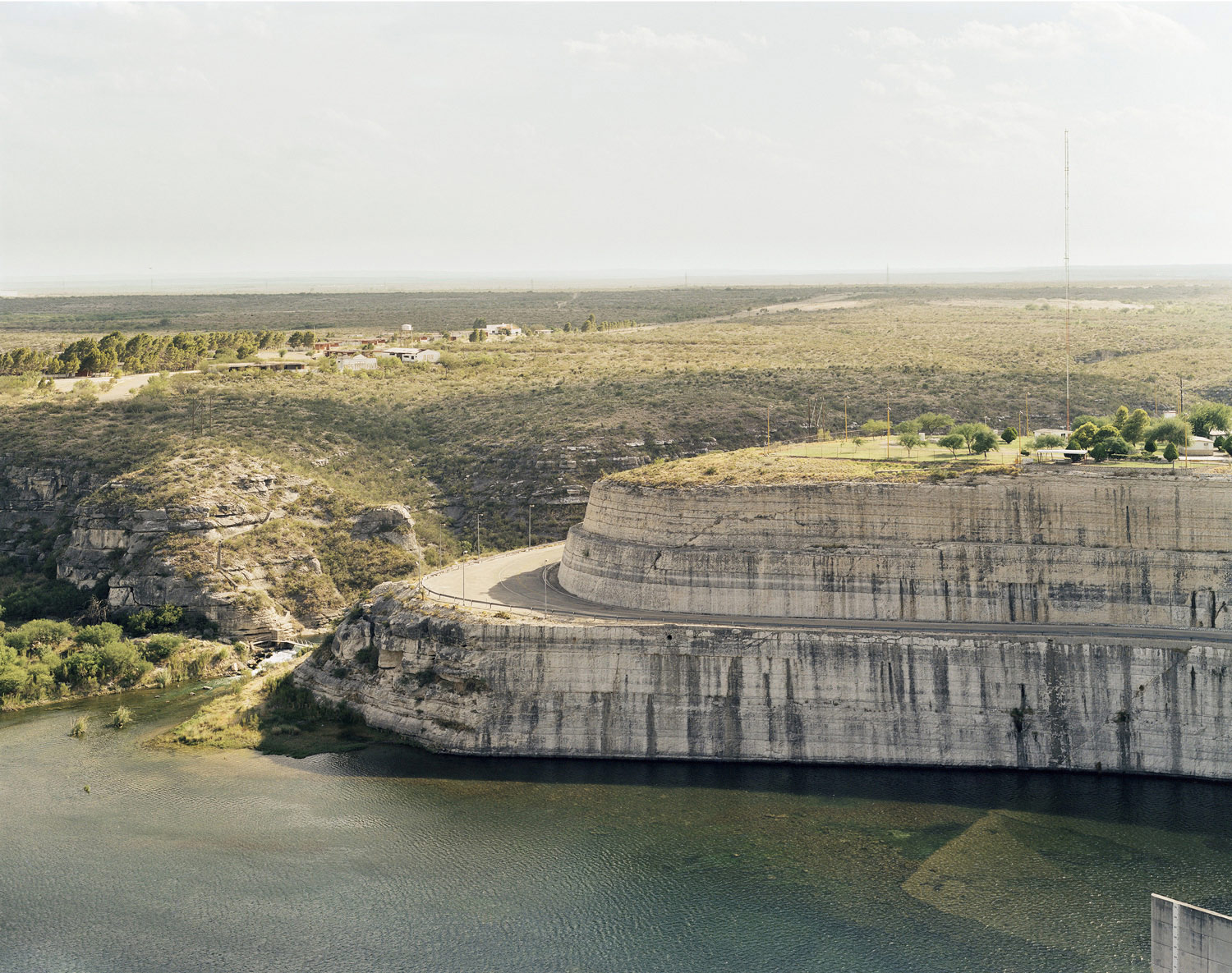
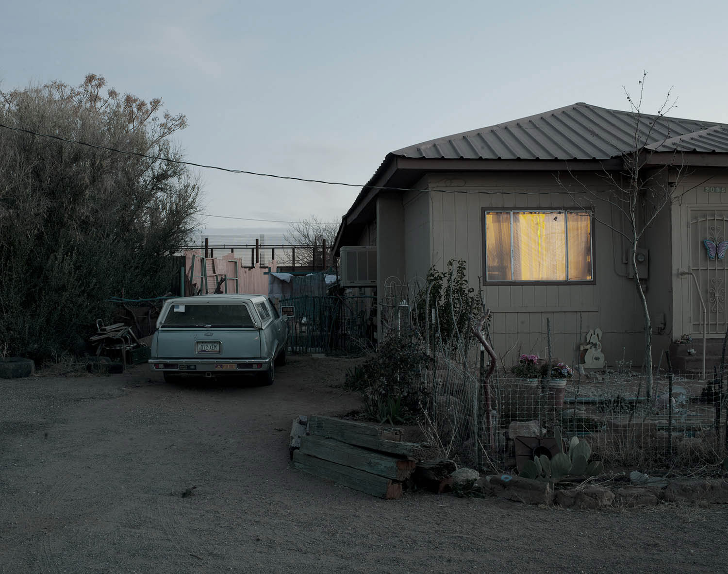
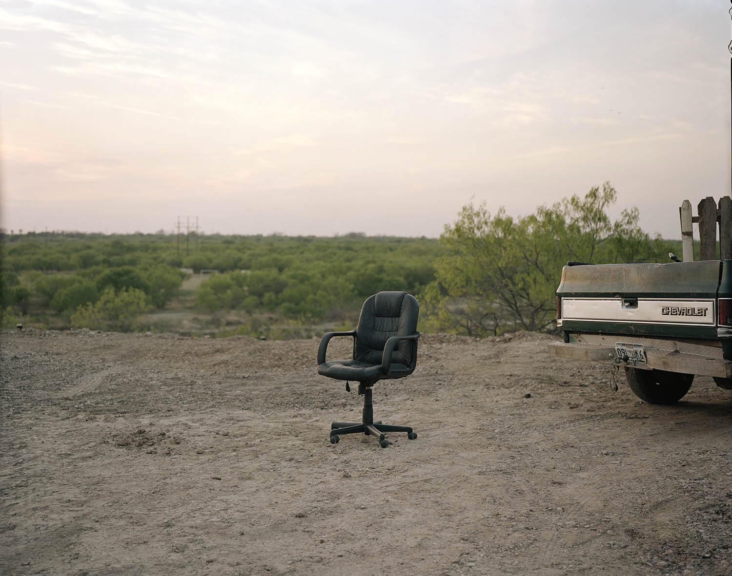
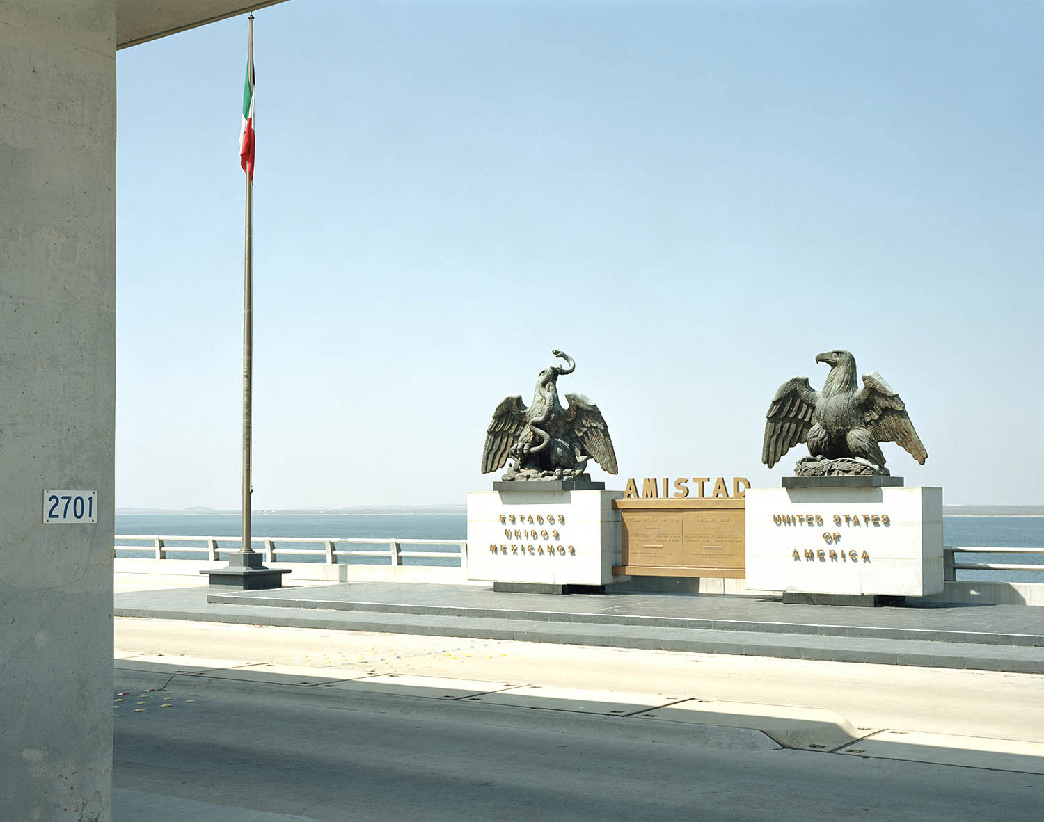
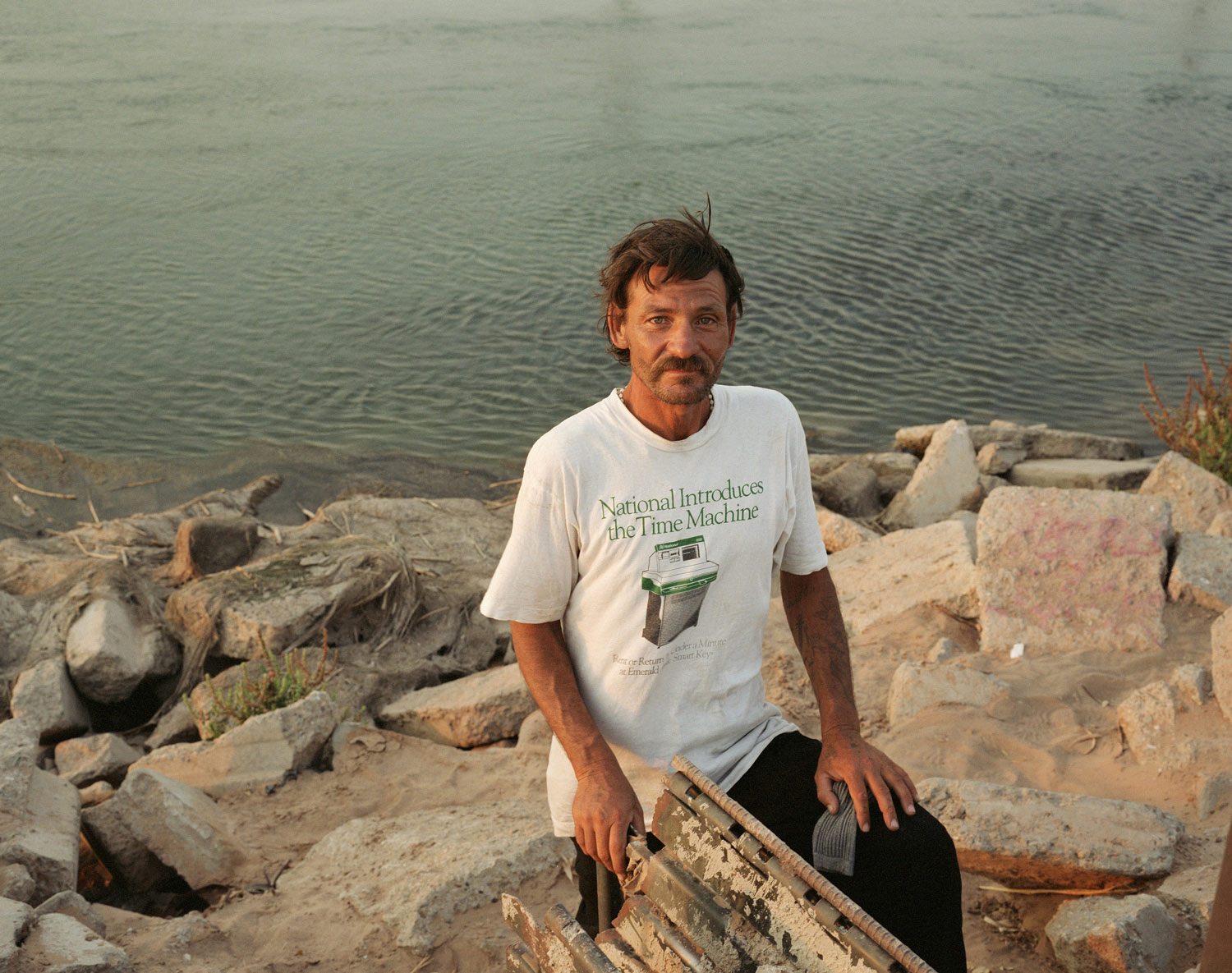
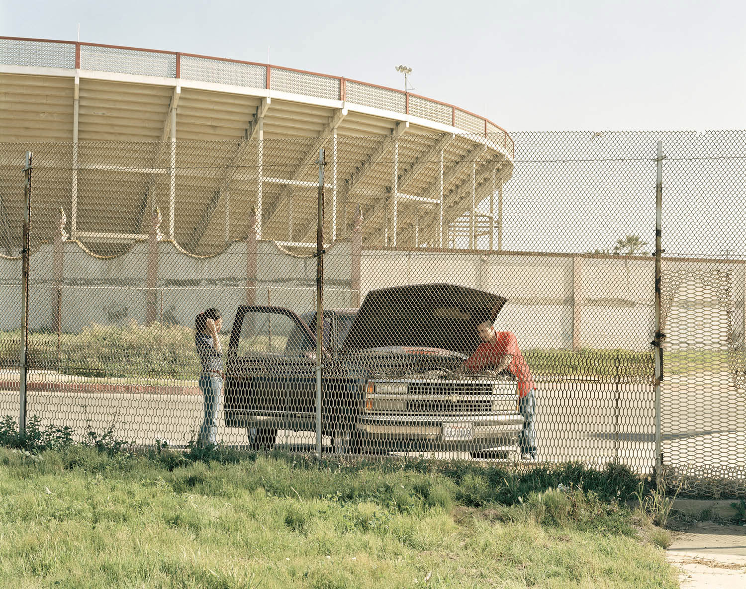
This collection of photographs document the line in many of its forms, from the urban fortresses to the rurally benign. Much has already been documented of the human plight in relation to this land. My interest lay in the division of two distinct societies bisected by something as simple in parts as only a line on a map.
Work on this project began in 2001 and some 25,000 road miles later the border and this project continue to evolve.
These photographs represent a selection of the work.
Making Of


